-
Welcome to Tacoma World!
You are currently viewing as a guest! To get full-access, you need to register for a FREE account.
As a registered member, you’ll be able to:- Participate in all Tacoma discussion topics
- Communicate privately with other Tacoma owners from around the world
- Post your own photos in our Members Gallery
- Access all special features of the site
 King suspension with all pro leafs
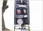 Tailgaterz Hang n haul organizer is no more?
 THIRD Annual AZBDR
 How Do I Remove Old Damaged Wrap?
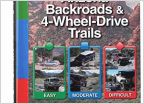 New to offroading and Arizona
 Mohave road 2022
Mapping Software????
Discussion in 'Arizona' started by Arizona Joe, Dec 4, 2011.