

-
Welcome to Tacoma World!
You are currently viewing as a guest! To get full-access, you need to register for a FREE account.
As a registered member, you’ll be able to:- Participate in all Tacoma discussion topics
- Communicate privately with other Tacoma owners from around the world
- Post your own photos in our Members Gallery
- Access all special features of the site
 Winch
Winch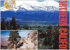 Looking for trails in the Seattle area
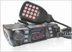 Switching from CB to GMRS/FRS
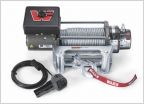 What winch on a budget?
 Approach/Departure Angles
 How do you document your trips?
Help me plan a *lonely* trip through the SoCal desert
Discussion in 'Off-Roading & Trails' started by bjmoose, May 11, 2013.
Page 3 of 3
Page 3 of 3


