

-
Welcome to Tacoma World!
You are currently viewing as a guest! To get full-access, you need to register for a FREE account.
As a registered member, you’ll be able to:- Participate in all Tacoma discussion topics
- Communicate privately with other Tacoma owners from around the world
- Post your own photos in our Members Gallery
- Access all special features of the site
 ShapeShifter Builds Bumble
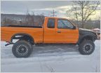 Truck of Joe
 Looking for battery disconnect switch mounting options
 4banger Junkyard build
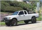 Synergy10's 02 Extra Cab Build
 Boostedka's Turbo 3RZ Tacoma
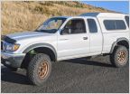
AdventureTaco - turbodb's build and adventures
Discussion in '1st Gen. Builds (1995-2004)' started by turbodb, Apr 4, 2017.
Page 262 of 280
Page 262 of 280
Products Discussed in


