

-
Welcome to Tacoma World!
You are currently viewing as a guest! To get full-access, you need to register for a FREE account.
As a registered member, you’ll be able to:- Participate in all Tacoma discussion topics
- Communicate privately with other Tacoma owners from around the world
- Post your own photos in our Members Gallery
- Access all special features of the site
 MAUIAUSTIN's High School Tacoma Build "Ava"
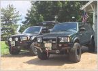 Beretta and DixieGirl Build's
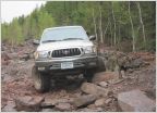 Silverbullet02's 2002 Regular Cab Build Thread
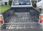 Silver 2004 DC w/305K getting some love...a Taco story
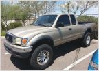 SDHQ Project Gold Member
 Charlie's 95 KR to KY LT Taco
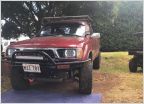
AdventureTaco - turbodb's build and adventures
Discussion in '1st Gen. Builds (1995-2004)' started by turbodb, Apr 4, 2017.
Page 273 of 281
Page 273 of 281
Products Discussed in


