-
Welcome to Tacoma World!
You are currently viewing as a guest! To get full-access, you need to register for a FREE account.
As a registered member, you’ll be able to:- Participate in all Tacoma discussion topics
- Communicate privately with other Tacoma owners from around the world
- Post your own photos in our Members Gallery
- Access all special features of the site
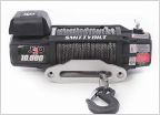 Best Hidden Winch Mount for Smittybilt X2O GEN2 10K
 CPLAY2air (Wireless Apple Car Play adaptor)
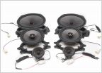 Front Door Panels
 Has anyone been able to find a bearing for a tensioner pulley bearing.
 Best new "Peace of mind" upgrades
Off Road Navigation Question
Discussion in '3rd Gen. Tacomas (2016-2023)' started by ssd2k2, Feb 3, 2025.
Page 1 of 2
Page 1 of 2