

-
Welcome to Tacoma World!
You are currently viewing as a guest! To get full-access, you need to register for a FREE account.
As a registered member, you’ll be able to:- Participate in all Tacoma discussion topics
- Communicate privately with other Tacoma owners from around the world
- Post your own photos in our Members Gallery
- Access all special features of the site
 Stop hungry animals from eating wiring and stuff?
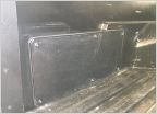 Wedge & Pop-up Camper mods
 West Coast Road-trip Recommendations
 Switching from CB to GMRS/FRS
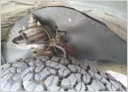 3rd Gen/ 2nd Gen Engine bay Splash Guard/ Rock guards Template.
 Compressed CO2 as OBA
New trail resource
Discussion in 'Off-Roading & Trails' started by VegasNick, Nov 14, 2013.


