

-
Welcome to Tacoma World!
You are currently viewing as a guest! To get full-access, you need to register for a FREE account.
As a registered member, you’ll be able to:- Participate in all Tacoma discussion topics
- Communicate privately with other Tacoma owners from around the world
- Post your own photos in our Members Gallery
- Access all special features of the site
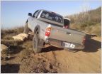 Fun Trails to do at night?
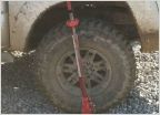 Reese farm jack vs. hi lift
 Jacksonville Fl Tacoma Owners
 Rotopax Water Container
 Mods for 'light' offroading
 Compressed CO2 as OBA
Death Valley Off-Road Adventures
Discussion in 'Off-Roading & Trails' started by Crom, Nov 14, 2009.
Page 28 of 405
Page 28 of 405
Products Discussed in


