

-
Welcome to Tacoma World!
You are currently viewing as a guest! To get full-access, you need to register for a FREE account.
As a registered member, you’ll be able to:- Participate in all Tacoma discussion topics
- Communicate privately with other Tacoma owners from around the world
- Post your own photos in our Members Gallery
- Access all special features of the site
 Proposed Chuckwalla National Monument & Joshua Tree National Park Expansion
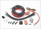 3rd Gen 110v Rear Winch?
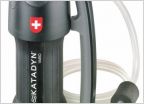 Lifesaver Jerry can (water filtration)
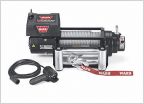 Winch Shootout
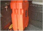 Jerry Cans
 Reese farm jack vs. hi lift
Best GPS for off roading?
Discussion in 'Off-Roading & Trails' started by Tacoma SS, Sep 17, 2015.
Page 3 of 8
Page 3 of 8


