

-
Welcome to Tacoma World!
You are currently viewing as a guest! To get full-access, you need to register for a FREE account.
As a registered member, you’ll be able to:- Participate in all Tacoma discussion topics
- Communicate privately with other Tacoma owners from around the world
- Post your own photos in our Members Gallery
- Access all special features of the site
 Headlights
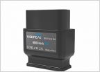 Disable seatbelt and door buzzer permanently
 Problem I have splicing into a wire using a T-tap connector
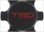 Do these inserts fit 3rd Gen TRD OR wheels?
 Interior LED
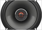 2021 Tacoma TRD Premium package JBL system with sub
What do you GPS/Navigate the trails with?
Discussion in '3rd Gen. Tacomas (2016-2023)' started by Bajaxr201, Dec 10, 2018.
Page 1 of 2
Page 1 of 2

