

-
Welcome to Tacoma World!
You are currently viewing as a guest! To get full-access, you need to register for a FREE account.
As a registered member, you’ll be able to:- Participate in all Tacoma discussion topics
- Communicate privately with other Tacoma owners from around the world
- Post your own photos in our Members Gallery
- Access all special features of the site
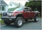 Snowman's 2004 4x4 Build
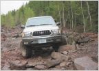 Silverbullet02's 2002 Regular Cab Build Thread
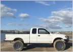 Synergy10's 02 Extra Cab Build
 2000 Stalker Taco
 Boostedka's Turbo 3RZ Tacoma
 Problems? No.Just a reason to upgrade
AdventureTaco - turbodb's build and adventures
Discussion in '1st Gen. Builds (1995-2004)' started by turbodb, Apr 4, 2017.
Page 151 of 261
Page 151 of 261
Products Discussed in


