-
Welcome to Tacoma World!
You are currently viewing as a guest! To get full-access, you need to register for a FREE account.
As a registered member, you’ll be able to:- Participate in all Tacoma discussion topics
- Communicate privately with other Tacoma owners from around the world
- Post your own photos in our Members Gallery
- Access all special features of the site
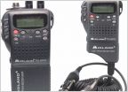 CB radio help/install
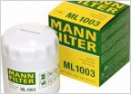 For those of you that change your own oil = FILTER
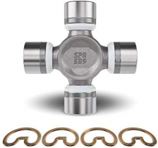
 Diff Breather Gangbang
 Sound deadening in east valley install wanted
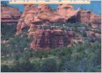 Metal Detecting and Gem Hunting?
 How Do I Remove Old Damaged Wrap?
Anybody Run Trails in this Area?
Discussion in 'Arizona' started by taco17az, Apr 11, 2020.