

-
Welcome to Tacoma World!
You are currently viewing as a guest! To get full-access, you need to register for a FREE account.
As a registered member, you’ll be able to:- Participate in all Tacoma discussion topics
- Communicate privately with other Tacoma owners from around the world
- Post your own photos in our Members Gallery
- Access all special features of the site
 PcBuilder's 2003 Tacoma Build
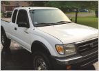 Christian's "One rusted nut at a time" thread
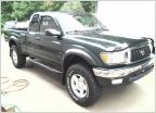 Greegun green and gunmetal DD Build
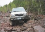 Silverbullet02's 2002 Regular Cab Build Thread
 Problems? No.Just a reason to upgrade
 MadTaco Build
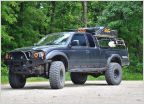
AdventureTaco - turbodb's build and adventures
Discussion in '1st Gen. Builds (1995-2004)' started by turbodb, Apr 4, 2017.
Page 275 of 280
Page 275 of 280
Products Discussed in


