

-
Welcome to Tacoma World!
You are currently viewing as a guest! To get full-access, you need to register for a FREE account.
As a registered member, you’ll be able to:- Participate in all Tacoma discussion topics
- Communicate privately with other Tacoma owners from around the world
- Post your own photos in our Members Gallery
- Access all special features of the site
 StevenP’s 37s + IFS ¯\_(ツ)_/¯ build
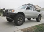 My 02 SR5 4WD Build - "T. Belle"
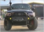 Prayn4surf
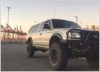 The Prodigal Son Returns - Build
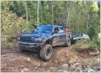 BlackPearl Build/Adventure (DC 4x4 TRD) (Super/Charged 3.4) LOTS OF PICTURES
 Looking for battery disconnect switch mounting options
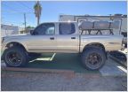
AdventureTaco - turbodb's build and adventures
Discussion in '1st Gen. Builds (1995-2004)' started by turbodb, Apr 4, 2017.
Page 255 of 281
Page 255 of 281
Products Discussed in


