

-
Welcome to Tacoma World!
You are currently viewing as a guest! To get full-access, you need to register for a FREE account.
As a registered member, you’ll be able to:- Participate in all Tacoma discussion topics
- Communicate privately with other Tacoma owners from around the world
- Post your own photos in our Members Gallery
- Access all special features of the site
 Good brick and mortar locksmith in OC
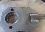 Timing Belt Job in SD
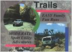 Help with So. Cal Camping Recommendations
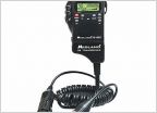 CB Radio
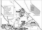 Which of these trails is 2wheel drivable.
Anyone familiar with Lawrence Welk (Merriam Mountains) near San Marcos/Escondido of HWY 15
Discussion in 'Southern California' started by JVL1985, Jun 22, 2020.


